Geographic information System (GIS) is a revolutionary Innovation which foundation was laid in the 20th century. It has transformed the way we perceive the concept of Map reading and spatial analysis. To put simply, GIS has revolutionized every facet of geography. It has taken map analysis done on an A4 to the level of 2D and 3D analysis and adds excellent visualization.
In the clearest and concise manner, GIS is a tool or system designed to create, model, remodel, capture, analyze, store and capture information relating to map creation, representation of information on the map and various human activities. It also focuses on spatial analysis. Though GIS was designed for domains such as cartography and geography, its use has surpassed these domains. It has become a vital tool in the fields such as telecommunication and network services, urban planning, transportation planning, agricultural application and navigation.
To achieve all this, GIS software is utilized. GIS software is devised to plan, create, store, display, manage and scrutinize various forms of geographic data and spatial information. Sadly, professionals and students face difficulty getting most times due to licensing fee. However, this write-up hopes to end this conundrum for GIS software users. The following are fifteen free GIS software (open source application)
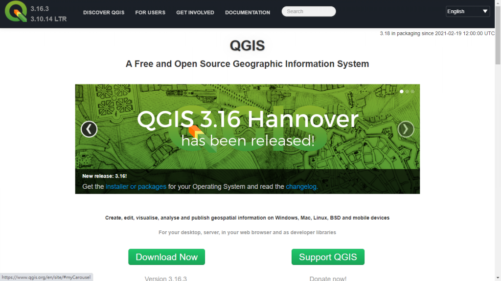
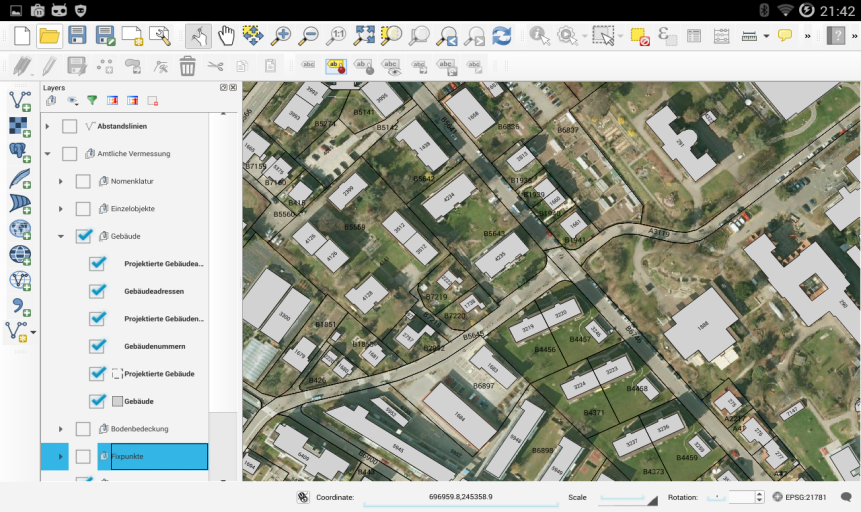
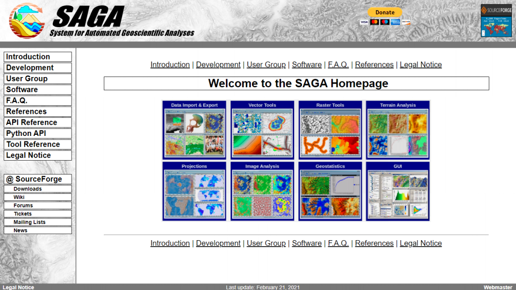
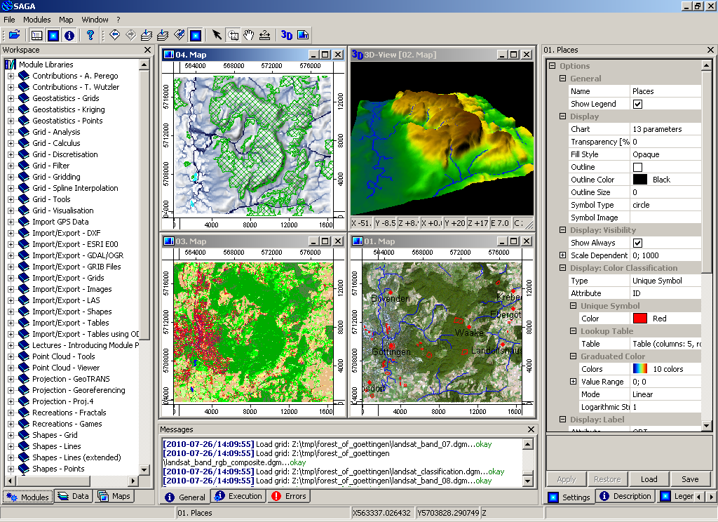
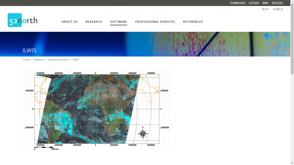
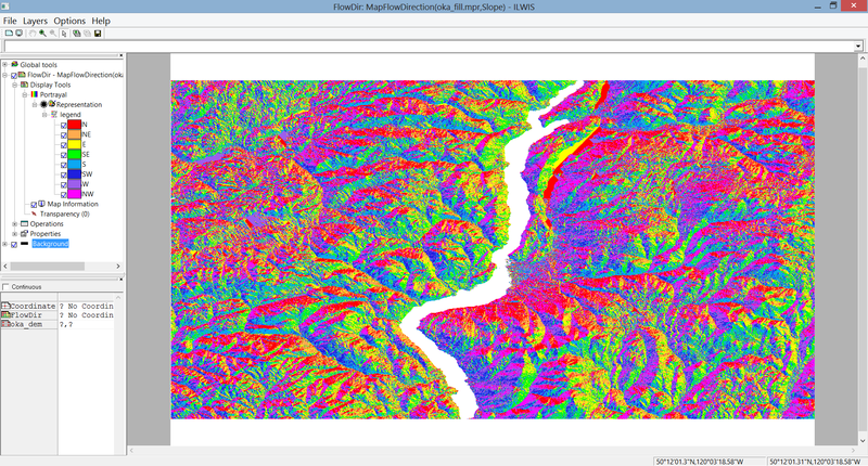
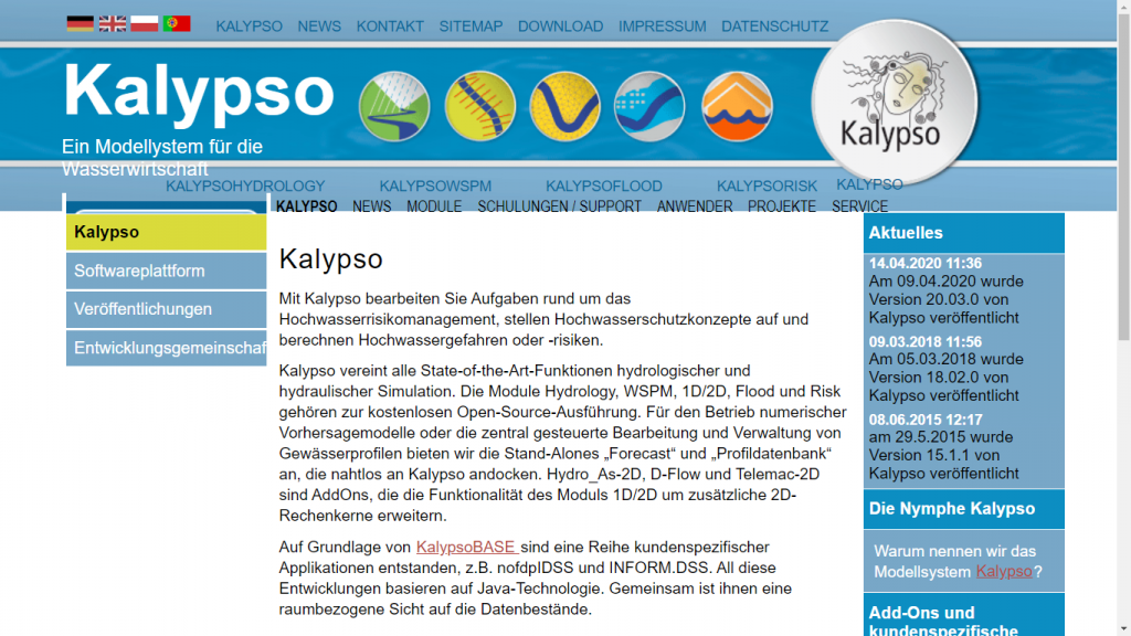
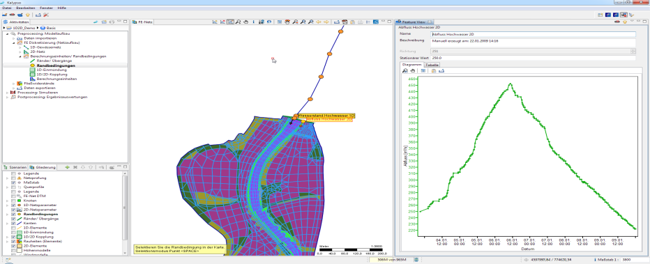
1. QGIS